|
|
|
|
10 Visits |
About
EducationWorkExperienceResumeOther AppointmentsCPGIS member IEEE member Member of IEEE Geoscience and Remote Sensing Society Member of IEEE Young Professionals Reviewer of Refereed Journals: Acta Oceanologica Sinica, IEEE Journal of Selected Topics in Applied Earth Observations and Remote Sensing, IEEE Transactions on Geoscience and Remote Sensing, International Journal of Remote Sesning, IEEE Geoscience and Remote Sensing Letters, IEEE Access Research FieldsSatellite Remote Sensing Data Processing and Applications Air quality monitoring and forcasting Radar Remote Sensing, Synthetic Aperture Radar Interferometry Ocean Remote Sensing, including physics, data interpretation, and application Enrollment and TrainingCourseScientificAcademic AchievementsEducation Ph.D. (2010) The Chinese University of Hong Kong, Hong Kong, China M.S (2006) Wuhan University‚ Wuhan‚ China B.S (2004) Central South University‚ Changsha‚ China Academic hornors Lion Dr. Francis K Pan 2010 for Research Excellence‚ The Chinese University of Hong Kong‚ Hong Kong‚ 2010 Yuen-Yuen Scholarship 2009 of ISEIS for Research Excellence‚ The Chinese University of Hong Kong‚ Hong Kong‚ 2009. The 17th International Conference on Geoinformatics 2009‚ Best Student Paper Award‚ given on the August 12‚ 2009. Yuen-Yuen Scholarship 2008 of ISEIS for Research Excellence‚ The Chinese University of Hong Kong‚ Hong Kong‚ 2008. He Jishan Scholarship for Excellent Students in Geoinformation Science‚ Central South University‚ Changsha‚ China‚ 2003. Academic activities Visiting scholar‚ Stanford University‚ Department of Geophysics‚ Stanford University‚ CA‚ USA‚ 2009. Gave an oral presentation at the 17th International Conference on Geoinformatics 2009‚ Fairfax‚ VA‚ USA‚ August 12-14‚ 2009. Participated in the Ocean Remote Sensing Workshop sponsored by Institute of Remote Sensing Applications‚ Chinese Academy of Science‚ Beijing‚ China‚ 2008. Chaired Session “GIS & Remote Sensing Monitoring of Natural Hazards” and gave an oral presentation at International Conference “Geoinformatics 2008”‚ Guangzhou‚ June 27 - 29‚ 2008. Gave an oral presentation at the First International Conference on Environmental Remote Sensing for Pearl River Delta Region‚ Hong Kong‚ January 10 - 11‚ 2008. Gave an oral presentation at Asian Conference on Remote Sensing‚ Kuala Lumpur‚ Malaysia‚ November 12 - 16‚ 2007. Gave an oral presentation at the 12th Inter-University Seminar on ASIAN MEGA-CITIES‚ Seoul‚ Korea‚ March 29- April 1‚ 2007. Publications Google Citation:http://scholar.google.com/citations?user=odFyVrUAAAAJ&hl=en ResearcherID: K-8844-2014
[27]Zhao, Q., A. Pepe, W. Gao, Z. Lu, M. Bonano, M.L. He, J. Wang, X. Tang, A DInSAR Investigation of the ground settlement time evolution of ocean-reclaimed lands in Shanghai, IEEE Journal of Selected Topics in Applied Earth Observations and Remote Sensing, 8(4):1763-1781, 2015(SCI) [26]Zhai, T., Q. Zhao*, W. Gao, R. Shi, W. Xiang, H. Huang, C. Zhang, Analysis of spatio-temporal variability of aerosol optical depth with empirical orthogonal functions in the Changjiang River Delta, China, Frontiers of Earth Science, 9(1):1-12, 2015 (SCI)
[25] Zeni, G., A. Pepe, Q. Zhao*, M. Bonano, W. Gao, X. Li, X. Ding, A Differenital SAR Interferometry (DINSAR)Investigation of the deformation affecting the coastal reclaimed areas of the Shanghai Megacity, in IGARSS 2014, Quebec, Canada, July 13-18, 2014 [24]Zhao, Q.*, W. Gao, W. Xiang, R. Shi, C. Liu, T. Zhai, H. Huang, L. Gumley, K.Strabala, Analysis of air quality variability in Shanghai using AOD and API data in recent decade,Frontiers of Earth Science,7(2):159-168,2013 (SCI)
[23]Zheng, Q., Q. Zhao*, Y. Yuan, X. Liu, J. Hu, X. Liu, L. Yin, X. Ye, Shear-flow induced secondary circulation in parallel underwater topographic corrugation, Journal of Ocean University of China, 11(4): 427-435, 2012 (SCI)
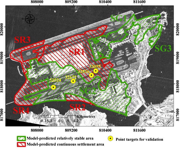
[22]Zheng, Q., B. Holt, X. Li, X. Liu, Q. Zhao, Y. Yuan, X. Yang, Deep-water seamount wakes on SEASAT SAR image in the Gulf, Geophysical Research Letters, 39:L16604, 2012 (SCI)[21]Zhao, Q.*, H. Lin, W. Gao, H. Zebker, A. Chen, K. Yeung, 2011. InSAR Detection of Residual Settlement of an Ocean Reclaimation engineering project: a case study of Hong Kong International Airport, Journal of Oceanography, 67: 415-426. (SCI)
[20]Zheng, Q., Q. Zhao, N. Walker, C. Li, 2010. Oil spil in the Gulf of Mexico and spiral vortex, Acta Oceanologica Sinica, 29(4): 1-2. (SCI)[19]Zhao, Q.*, H. Lin, L. Jiang, F. Chen, and S. Cheng, 2009. A study of ground deformation in Guangzhou urban area with Persistent Scatterer Interferometry, Sensors, 9(1): 503-518. (SCI)
[18]Lin, H., F. Chen, and Q. Zhao, 2009. Land deformation monitoring using coherent target-neighborhood networking method combined with polarimetric information, a case study of Shanghai, China, International Journal of Remote Sensing, 32(9): 2395-2407. (SCI)[17]Jiang, L., H. Lin, Q. Zhao, 2010. Spatial and temporal deformation characteristics of marine alluvial deposits due to land reclamation: implications from InSAR observation and geotechnical estimate, Earth Surface Processes and Landforms, 35, 331-343. (SCI)[16]Lin, H., L. Jiang, and Q. Zhao, 2008. Urban land subsidence monitoring with Differential InSAR technique, City pioneer, 2008(04): 39-46.[15]Liao, M., X. Tian, and Q. Zhao, 2007. Missions and applications of TerraSAR-X/TanDEM-X, Journal of Geomatics, 32(2):44-46.
|


